Rain and Snow Today With Some Snow Accumulation
- Dec 28, 2021
- 1 min read

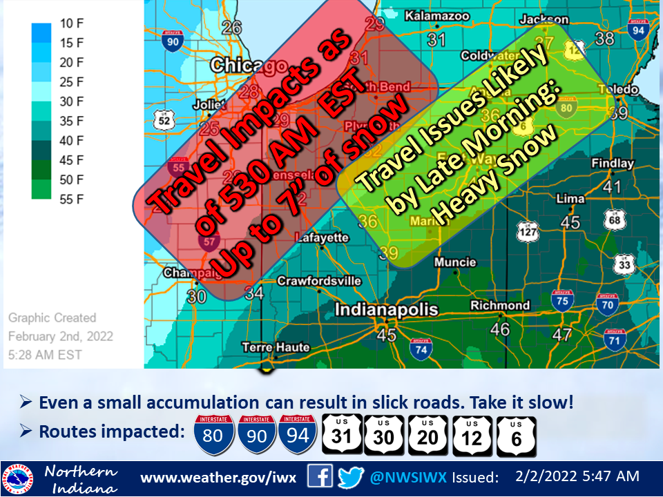
A mix of rain and snow will overspread the area from south to north later this morning into this afternoon. A brief period of mainly all snow is expected north of US 30 this afternoon before mixing with rain. Snow accumulations north of US 30 are expected to range from 1 to 3 inches, but travel impacts should remain limited due to temperatures remaining in the mid to upper 30s. Roads may become slushy however, and motorists should reduce speed and allow extra following distance today. Precipitation will quickly taper early this evening. Another system will bring light rain to the area for Wednesday afternoon and Wednesday night, with a potential of some snow or patchy drizzle mixing in across northwest Indiana and southern Lower Michigan Wednesday night.
SOURCE: https://www.weather.gov/iwx/weatherstory


Comments