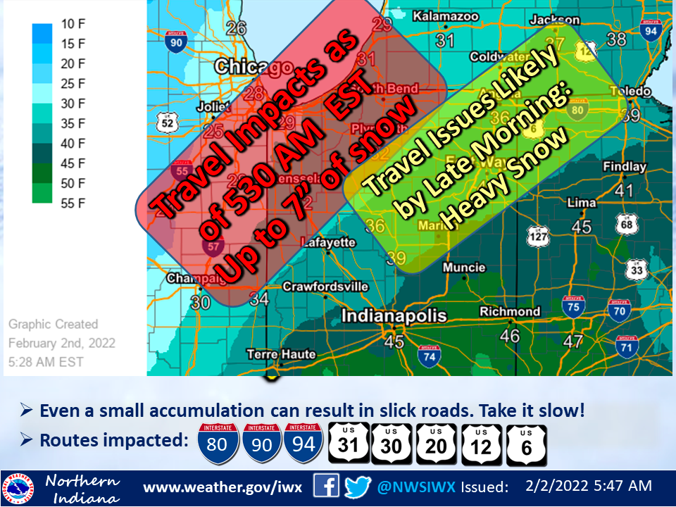
WINTER STORM WARNING REMAINS IN EFFECT FROM 12 AM EST ON 2/1/2022 TO 7 PM EST ON 2/3/2022
- Feb 1, 2022
- 1 min read
WHAT...Heavy snow expected. Blowing snow developing Thursday with dangerous travel expected. Total snow accumulations 10 to 20 inches.
WHERE...Portions of northern Indiana and southwest Michigan.
WHEN...From 1 AM EST /midnight CST/ Wednesday (2/1/2022) to 7 PM EST /6 PM CST/ Thursday (2/3/2022).
IMPACTS...Travel will become very difficult to impossible. Blowing snow could significantly reduce visibility. The hazardous conditions will affect Wednesday and Thursday commutes.
ADDITIONAL DETAILS...Rain will change to snow from northwest to southeast tonight. This will be a long duration snow event, with periods of moderate to heavy snow and reduced visibilities.
PRECAUTIONARY/PREPAREDNESS ACTIONS... This storm will bring potentially dangerous winter weather early Wednesday through Thursday. Unplowed roads are likely to become impassable over most areas. Plummeting wind chills accompanied by blowing and drifting snow could bring a potentially lethal travel situation with wind chills falling below zero if you become stuck in your vehicle Thursday night. Plan now to make any needed travel changes to avoid travel during this time. Monitor the latest forecasts for updates on this developing major winter storm. If you must travel, keep an extra flashlight, food, and water in your vehicle in case of an emergency.


Comments